


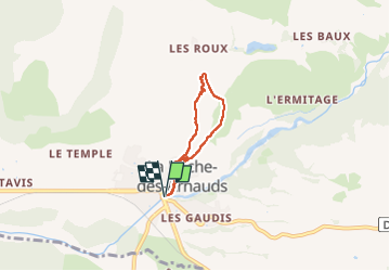

9,6 km | 15,6 km-effort

Benutzer


Kostenlosegpshiking-Anwendung
 SityTrail
IGN / Geografische Institute
SityTrail World
Die Welt öffnet sich für Sie
Tour Wandern von 4,5 km verfügbar auf Provence-Alpes-Côte d'Azur, Hochalpen, La Roche-des-Arnauds. Diese Tour wird von Thierry.T vorgeschlagen.
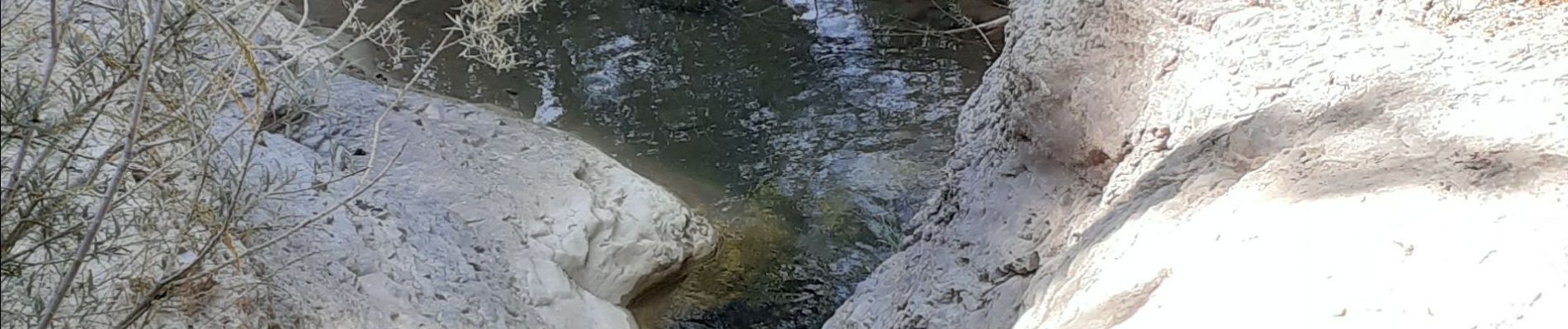
Petite rando, mais n’espérez pas voir la cascade, elle n'est pas accessible. Un petit chemin plus en amont permet d’accéder au ruisseau dans un petit espace agréable et frais. rien d'exceptionnel.


Wandern

Mountainbike

Wandern

Wandern

Wandern

Wandern

Wandern

Wandern

Mountainbike